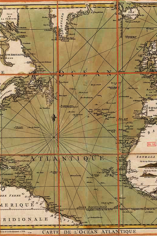
Historical & Political Maps
Maps that outline political and geopolitical times have played a crucial role in shaping our understanding of global history and power dynamics.
Throughout history, these maps have been used not only to depict the physical layout of regions but also to represent the shifting boundaries of nations, empires, and alliances. From the early medieval maps showing feudal territories to the intricate political maps of the 19th and 20th centuries reflecting colonialism, war, and the rise of nation-states, these maps have visually chronicled periods of conflict, diplomacy, and change.
The art of creating political maps lies in how they balance artistic design with the accurate representation of power structures, often influenced by the political motives of the time.
The importance of these maps extends beyond their visual appeal; they are critical tools for understanding the complexities of political history, such as the impact of war, treaties, and revolutions.
Today, they continue to provide insights into the legacies of historical events, helping us understand current geopolitical realities and how past borders have shaped modern nations and international relations.


