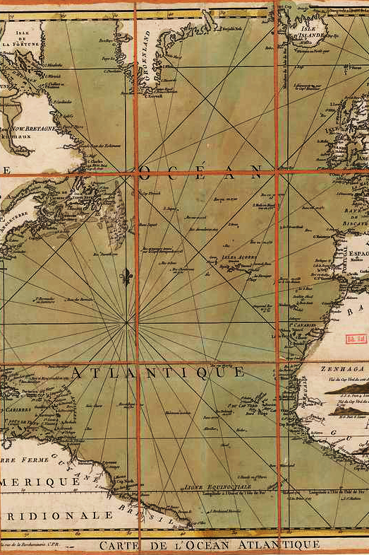
World Maps
World maps and atlases have been essential tools for understanding geography, shaping exploration, and reflecting humanity’s evolving worldview.
Early maps, such as those from ancient Babylon, Greece, and China, were often symbolic or mythical, depicting the world as a flat plane centered around known civilizations. During the Age of Exploration, cartographers like Gerardus Mercator and Abraham Ortelius revolutionized mapmaking with more accurate projections, leading to the first modern atlases in the 16th and 17th centuries.
The art of world maps evolved alongside scientific advancements, with elaborate hand-drawn maps adorned with sea monsters and ornate borders giving way to precise, data-driven representations.
The design of atlases became increasingly sophisticated, with thematic maps emerging to illustrate political, economic, and environmental data.
Today, digital and interactive mapping technologies continue this tradition, making global information more accessible than ever. Yet, whether ancient or modern, world maps and atlases remain powerful tools that not only depict geography but also reflect cultural perspectives, political ambitions, and humanity’s quest to chart the unknown.


